Hiking - Experience Gronau Firsthand


In Gronau (Westphalia), you have the opportunity to explore the western Münsterland region on foot—whether alone, as a couple, or with friends in a group. This way, you’ll discover fascinating natural areas, such as the numerous moorlands and heathlands: the Gildehauser Venn and the Rüenberger Forest are just a few of the places waiting to be explored.

The photo shows the heathland of the Gildehauser Venn. It is blooming with a faint purple hue. On the right side of the photo, a hiking trail runs along the edge, with several people walking along it.

The Gildehauser Venn Route

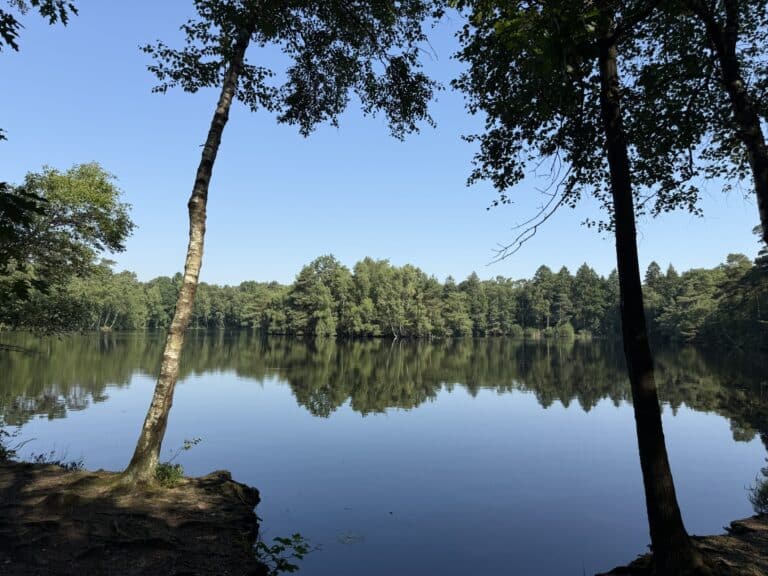
The 10.5 km route starts at the beautiful Dreiländersee lake and takes you through the 740 ha moor and heathland area. This is considered to be one of the most valuable wetlands in north-west Germany in terms of natural history and is criss-crossed by flat, elongated dune ridges. The damp moorland heaths are dominated by bell heather and are partly interspersed with reedbeds and bog lily stocks. The Venn is also an important habitat for meadow birds. On your route you will pass two lookout towers where you can observe species such as the red-backed shrike, lapwing, curlew and snipe.

In the picture, you can see a lake with the trees on the other side reflected in it.

The Rüenberg Forest Route

Not far from the Dreiländersee is the Rüenberg forest. This is considered one of the most scenic nature reserves in the local area and impresses with its natural paths. The circular route leads along the old noble house of Rüenberg. Here two lovingly designed huts invite you to stay – dogs and humans are welcome here.

Auf dem Bild sieht man die Ostmühle in Bad Bentheim.

Looking for more inspiration?

Then why not check out the neighboring towns? There are some great hiking trails to discover there, too.

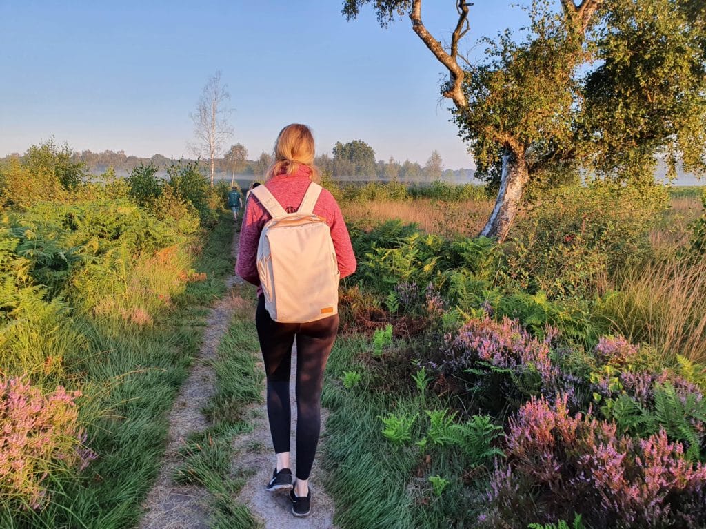
A person with blond hair, dressed in a red sweater, black leggings, sneakers and a light backpack, walks along a narrow path through a green and purple heather field in the Amtsvenn on a sunny day.

The Amtsvenn Route

The Amtsvenn route is up to 8.5 km long and leads through a cross-border moorland area of supra-regional importance for animals and plants. The route can be shortened along the way, and if you feel like it you can make a detour to a viewing tower.

Due to renaturation measures in the Hündfelder Moor on the German side, there may be severe restrictions on the route in some places.

Important: For the protection of birds and safety on the construction site, the Hündfelder Moor is closed until further notice.

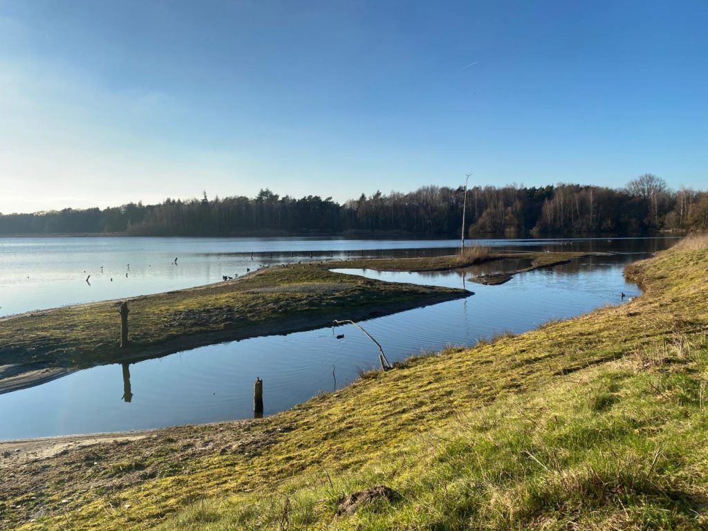
A calm lake with grassy shores and small patches of land jutting into the water, surrounded by trees under a clear blue sky on a sunny day.

The Three-Country Hiking Route

The 10.5 k route takes you through the three states of North Rhine-Westphalia, Lower Saxony and the Netherlands. Your way leads you through the Gildehauser Venn and a beautiful juniper grove at the Franciscan monastery Bardel, where you can marvel at Galloway cattle, Dutch country goats or Bentheimer country sheep.

A special highlight of the route is the bird sanctuary “De Oelmars”. In a “Vogelkijkhus” you can observe the numerous birds here.